
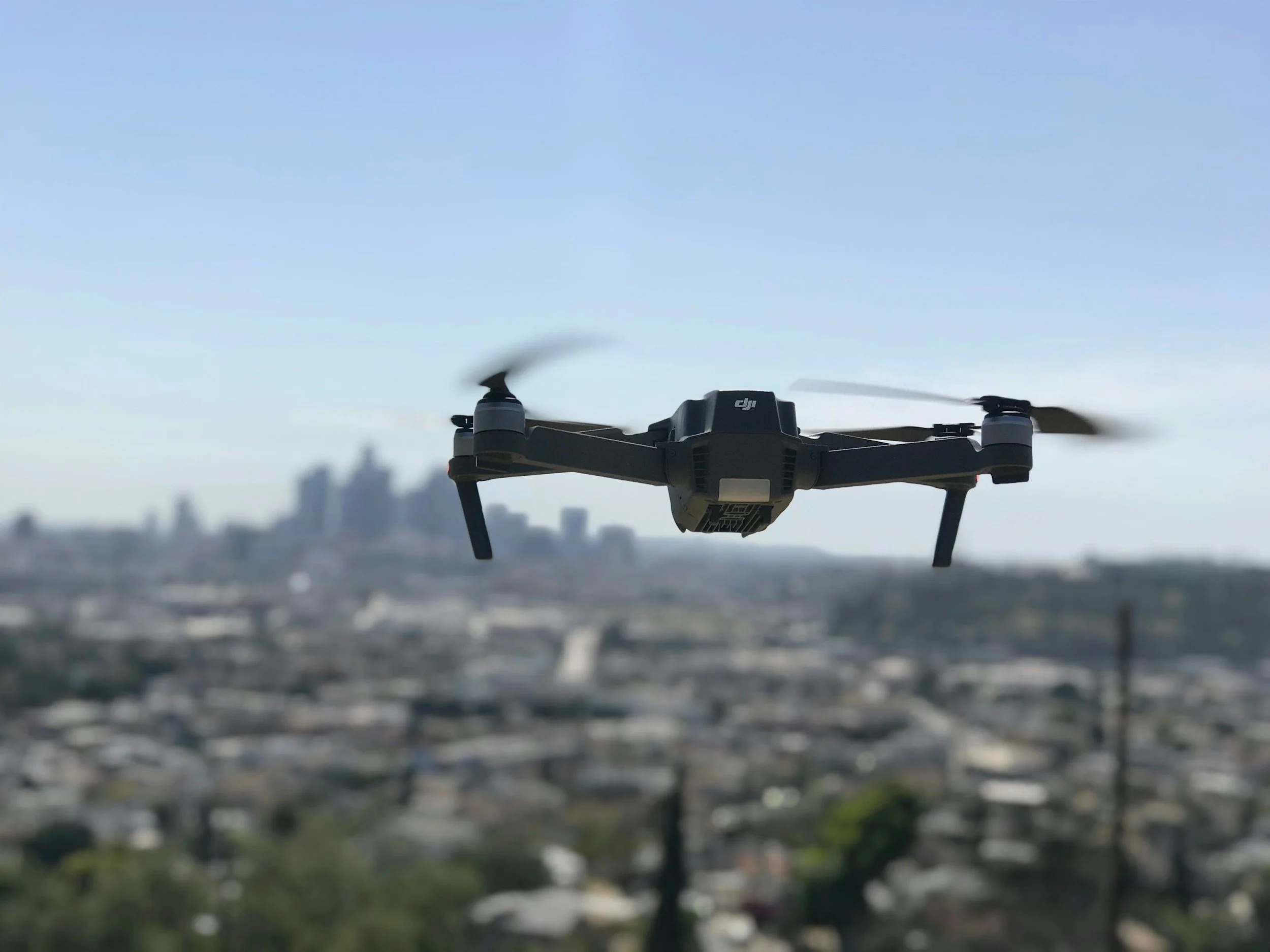
Drone Technology
At King Industries, drone technology plays a pivotal role in elevating project oversight, communication, and safety. By leveraging high-resolution aerial imagery, our teams can document job sites with unmatched clarity, monitor progress across vast or remote locations, and deliver enhanced reporting that blends visual context with critical data. These capabilities not only streamline updates for stakeholders but also improve safety and efficiency by allowing inspections of hard-to-reach areas without exposing personnel to risk. Drones are more than tools—they’re integral to our commitment to transparency, innovation, and operational excellence.
-
Captures high-resolution aerial imagery to document existing site conditions before, during, and after construction
Provides visual records for compliance and permitting, especially useful for environmental and infrastructure projects
Supports mapping and surveying efforts with precise geospatial data to inform design and planning
-
Tracks construction milestones in real time, offering visual updates for stakeholders and project managers
Enables side-by-side comparisons of current progress versus planned timelines using aerial footage
Improves coordination across teams by providing consistent visual references of site evolution
-
Integrates drone imagery into project reports, enhancing clarity and transparency for clients and agencies
Supports FEMA and regulatory documentation with visual evidence of completed work and site conditions
Facilitates stakeholder communication by turning complex site data into digestible visuals
-
Reduces the need for manual site inspections, minimizing risk to personnel in hazardous or remote areas
Improves situational awareness for crews and supervisors with real-time aerial views of active zones
Accelerates decision-making by providing fast, accurate visuals that support field operations and emergency response